Home › Guides › Satellite imagery
Almost everything a remote mapper adds to the Amazon comes from satellite imagery: the silver thread of a river, the grey grain of rooftops, the pale scar of a new track through the canopy. The better you read that imagery, the better your map.
Picking an imagery layer
OpenStreetMap editors let you switch between several aerial imagery backgrounds. Different layers were captured at different times, with different resolution and cloud cover, so one may show a river clearly where another is hidden under haze. Organised mapping projects usually tell you exactly which imagery to use — sometimes a custom tiled layer prepared for that area — so that everyone traces against the same picture. Always follow the project's recommended source.
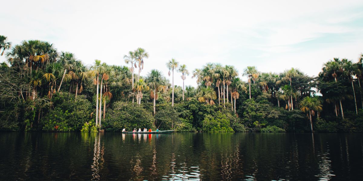
Reading tropical imagery
The Amazon presents a few recurring challenges:
- Clouds and haze. Persistent cloud is the mapper's constant enemy here. If a feature sits under cloud, leave it; don't invent geometry you can't see.
- Shadow and relief. Tall canopy casts long shadows that can be mistaken for water or hide narrow paths. Compare brightness on both sides before deciding what something is.
- Water that changes. Rivers braid, sandbanks shift, and floodplains expand and contract with the season. The imagery is a snapshot of one moment, not a permanent truth.
- Subtle clearings. A faint rectangle in the forest is often a settlement or farm plot. Zoom in before you tag it.
Keeping your tracing accurate
- Check alignment. Imagery can be shifted a few metres from reality. Where existing GPS tracks or known points exist, nudge the imagery to match before tracing.
- Zoom in to trace, zoom out to sanity-check. Place your nodes at high zoom for precision, then step back to confirm the overall shape looks right.
- Use enough nodes — but not too many. Curves need several points to look natural; straight edges need only two. Over-noding makes data heavy and hard to edit.
- Don't trace what you can't identify. “Probably a building” is not good enough. Map what's clear and leave the rest for someone with better imagery or local knowledge.
More mapping guides
Satellite imagery
Read and trace tropical aerial imagery.
Rivers & waterways
Map channels, lakes and seasonal water.
Roads & transport
Map highways, tracks, paths and ferries.
Land use & cover
Map forest, farmland, wetland and settlements.