Home › Why It Matters
The Amazon basin spans an area larger than most continents and is home to millions of people across hundreds of communities. Yet for long stretches of it, the digital map is nearly blank. Closing that gap is not an academic exercise — it changes outcomes on the ground.
Disaster response and resilience
When a flood, storm or drought strikes, the first thing responders reach for is a map: which roads are passable, where the houses are, which neighbourhoods sit lowest in the floodplain. In much of the Amazon that information simply hasn't existed in usable form. Volunteer mappers have repeatedly stepped in ahead of and during emergencies — charting flood-prone districts along rivers in northern Colombia and Costa Rica, and mapping building damage after tropical cyclones elsewhere in the tropics — so that aid can be planned around real geography rather than guesswork. Because the data is open, anyone coordinating a response can download and use it immediately, without licences or fees.
Water, drought and public health
In semi-arid edges of the basin, the problem is sometimes too little water rather than too much. During severe droughts in the La Guajira region, mappers traced the locations of jagüeyes and reservoirs — the small ponds and water-storage points that rural families depend on. Knowing where reliable water sits, and how communities reach it, directly informs health and relief programmes for children and families at risk.
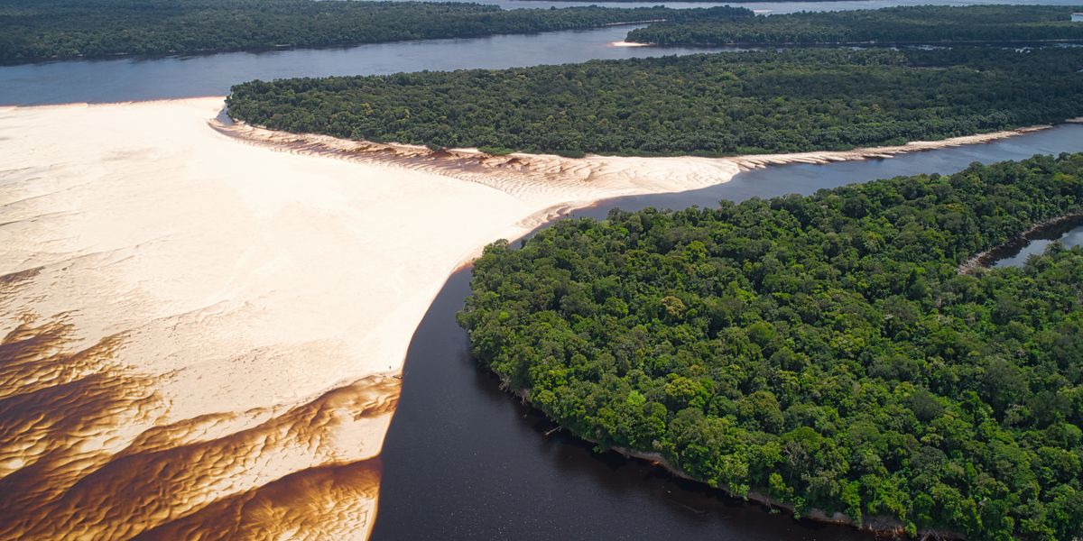
The environment and the forest
An accurate map is also a baseline. When you can see where forest meets farmland, where new tracks cut into intact woodland, and how settlements expand year on year, you can measure change. Conservation researchers, indigenous organisations and journalists all rely on geographic data to document deforestation and defend land. Open mapping gives them a transparent, reusable record that nobody can quietly take away.
Everyday logistics for remote communities
Most mapping isn't dramatic. It's the slow, valuable work of putting ordinary places on the map: the school, the health post, the dock where the boat ties up, the track that becomes the only link to the next town when the river is low. For people living far from any city, having these things appear in a navigable, freely available map is genuinely useful — for delivery of supplies, for emergency transport, and for being counted at all.
Why open mapping specifically
You could imagine a company surveying the Amazon and selling the results. The trouble is that the people who most need this data — local governments, small NGOs, residents — are exactly those least able to pay for it. OpenStreetMap flips that around. The data is contributed freely and licensed openly, so a student in Riohacha, a relief worker in Manaus and a researcher anywhere in the world all draw from the same map. That shared foundation is the whole point.